C-MAP 4D Lakes NA-D073 North East [M-NA-D073-MS]
C-MAP 4D Lakes NA-D073 North East [M-NA-D073-MS]
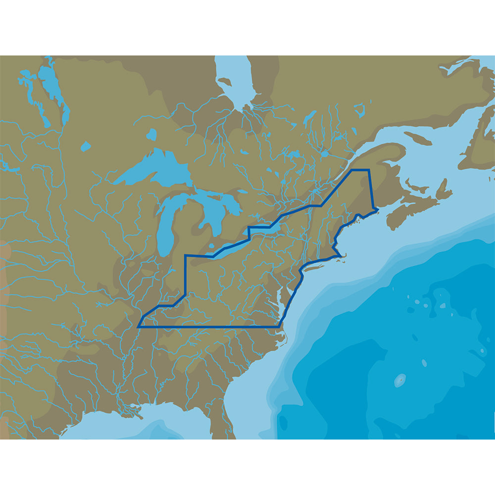
4D Lakes NA-D073 North East
C-MAP charts have long been held in high regard by boaters because they combine aesthetically pleasing vector electronic charts with reliable sources. With the backing of Jeppesen's parent company Boeing, a well-respected multibillion dollar global company, boaters can be assured that C-MAP charts are of the highest standard.
C-Map 4D will provide boaters with charts packed additional features such as raster chart views or Satellite images* to maximize situational awareness.
Coverage Area:
Lakes and major rivers of North East region of USA, including states of: Maine, Vermont, New York, New Jersey, New Hampshire, Massachuesetts, Connecticut, Delaware, Maryland, Virginia, West Virginia, Kentucky, Ohio, Pennsylvannia. Includes coastal coverage of Atlantic Ocean and Chesapeake Bay, Hudson River, Cape Cod, Long Island Sound, more.
Specifications:
- Card Format: MicroSD/SD
- Box Dimensions: 1"H x 5"W x 8"L WT: 0.2 lbs
Couldn't load pickup availability
Product features
Product features
Materials and care
Materials and care
Merchandising tips
Merchandising tips
Share